
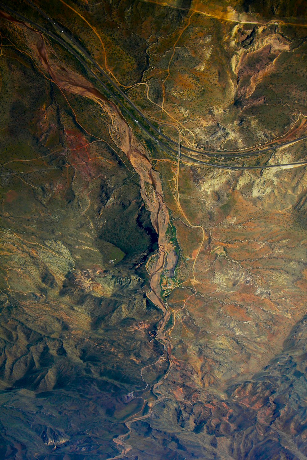
an aerial view of a river running through a valley
Taken from a WestJet plane at 33,000 feet, down towards the Arizona Desert. Then flipped 180º for a neat look. The road in the photo is Interstate 17.
Nature imagesTexture backgroundsHd pattern wallpapersHq background imagesHd wallpapersusaarizonasonoran desertdronemacroDesert imagesAirplane pictures & imagesHd grey wallpapersHd art wallpaperspaintingHd scenery wallpapersLandscape images & picturesaerial viewHd cave wallpaperspanoramicFree stock photos
Browse premium related images on iStock | Save 20% with code UNSPLASH20
Related collections


Mobile wallpapers
216 images · Curated by Dave Riensche


Aerials!
18 images · Curated by Octavio León


Textures - Background
14 images · Curated by Laurence Fleury