
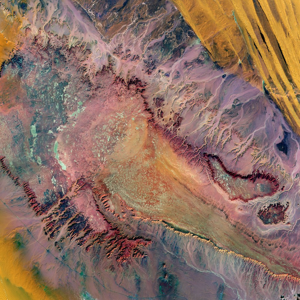
aerial photography of desert in Egypt
In a remote part of the Western Desert in central Egypt, highly eroded plateaus rise from the desert floor. The bright speckles are ancient dry lakes, the salt deposits reflecting brightly. Long ago, water flowed off the plateau, forming the breaches seen on the plateaus’ edges. This desolate land between oases is surrounded by extensive sand dunes.
Browse premium related images on iStock | Save 20% with code UNSPLASH20
Related collections


Textures, surfaces, abstracts
1,222 images · Curated by Ana


textures
497 images · Curated by Mitch Sopo


Achtergrondjes
44 images · Curated by Happinez Online